About Magdalen Hill Down
Magdalen Hill Down is a warm south facing chalk hillside, which is currently the location of a butterfly reserve run by the Butterfly Conservancy. It is close to the M3 motorway, and in easy strolling distance of the City of Winchester.The Down is a fragment of the sheep-grazed downland that was once so common on the chalk hillsides of Hampshire. These grasslands were rich in flowers, but the rise of intensive farming, the decline in sheep grazing and the decimation of rabbit populations by myxomatosis allowed many hillsides to be colonized by dense shrub.Rabbit numbers are returning.

background
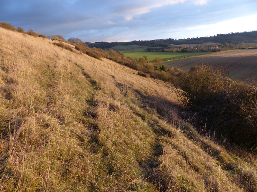
Not the steep southerly slope of the ‘Original’ field. This is a warm shelter area where the best butterflies can often be found.
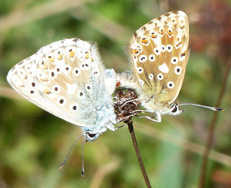
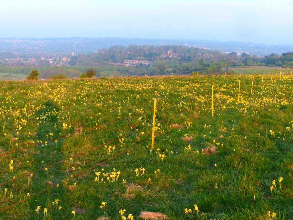
The reserve was established in 1989. Seventy years ago, the hillside was open grassland grazed by sheep and rabbits. The fields were eventually it’s use for grazing was abandoned, allowing shrub to encroach on the grass land. By 1989 much of the site had become heavily invaded by the scrub. Because the fields have never been ploughed or subjected to chemical fertilisers or pestersides it has helped to preserve the rich variety of wild flowers upon which the butterflies feed. There are thirty species of butterfly here, including Brown Argus, Green Hairstreaks, marbled white and Chalkhill Blues. Since the reserve was established, the shrub has been cleared, , and grazing has been re-introduced. A programme of sowing with native grass and flower seed from other Hampshire sites has been very successfully. This has lead to a steady increasing in numbers of butteries. Some scrub has been retained for shelter and as a valuable nectar source.
The fields that make up the reserve are shown on the map above. The reserve has been built-up in parcels of land. The first to be acquired is known as the ‘original’. It forms the steep southerly slope that overlooks the A31 Petersfield Road. This is the core of the reserve and one of the best places to see butterflies.
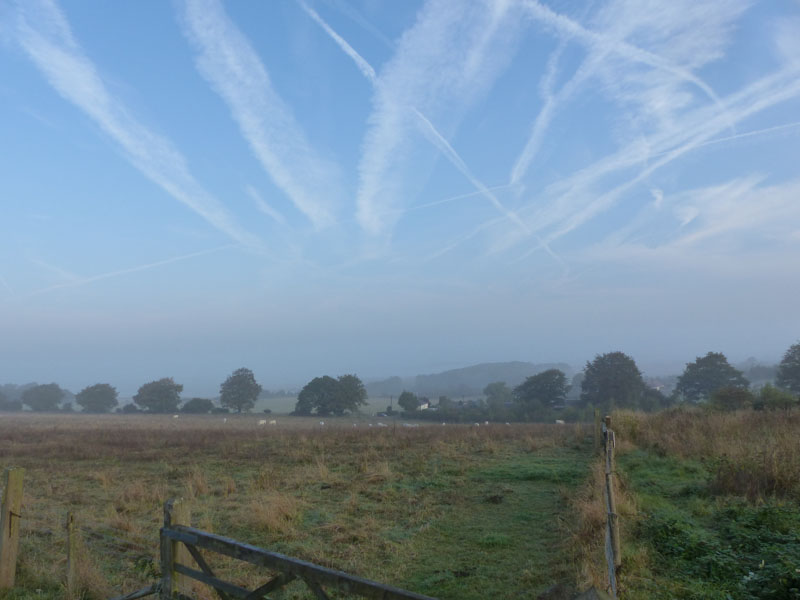
Another field (32 acres) was acquired in 1995 known as the ‘Extension’. To the east of Original, it had been intensively farmed for over fifty years. . The conservancy sowed this field with specially selected native wildflowers and grass seed collected from other Hampshire nature reserves, in an attempt to restore the rich flower grassland. However this process has been slow because the chemicals used in arable farming are slow to disperse.
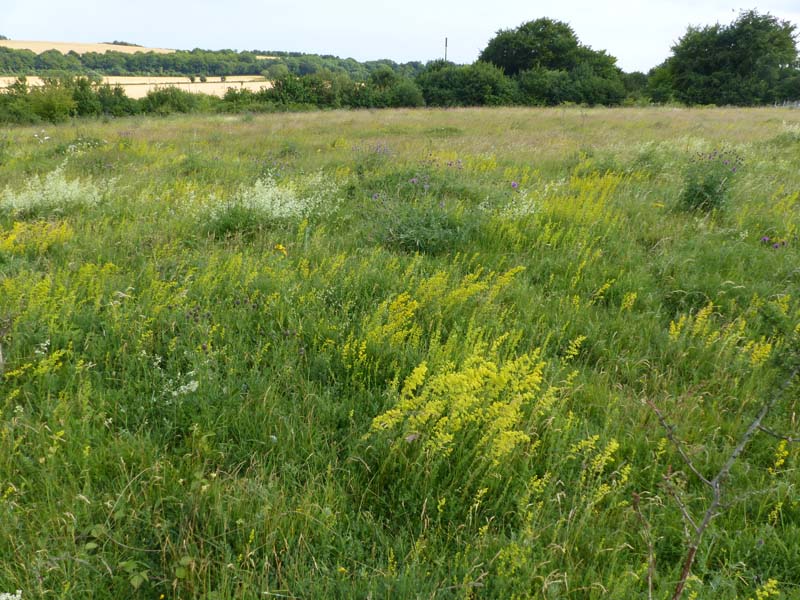
In 2004 Magdalen Hill Down ‘North Field’, a further 55 acres, was sown in a similar way in a joint scheme with Hampshire County council. This field was part of a vast site of 1st World War arm camps. If you have gone there in 1914, it would have been covered with army barrack huts. The western end of the field was a parade ground. Flowers, butterflies and moths together with other wildlife thrive on these areas of recreated chalk grassland.
Two further area of land were added in 2013. The so called ‘allotments’ were added on the west end of the reserve, and a number of fields at Morn Hill, to the far east, came under management.
The surviving downland plants such as common rock-rose(foodplant of the brown argus and green hairstreak), chalk milkwort, clustered bellflower and horse-shoe (foodplant of the chalkhill blue) and kidney vetch have benefited greatly.
Grass, particularly the finer and softer varieties, is important not just as a setting for flowers but as caterpillar food. The caterpillars of some butterfly species found on the Down feed exclusively on grass. The Grazing the regime has been optimised to maintain the correct types of grass at the right heights to suit a wide range of butterfly species.
The reserve contains within its bounds a group of five Bronze Age bowl barrows. The barrow cemetery has a wonderful position on the southerly slope , with views towards the south (including St. Catherine’s Hill hillfort). Three barrows, are 2 to 2.5m high and are still in good condition, although they bear the marks of robbers.


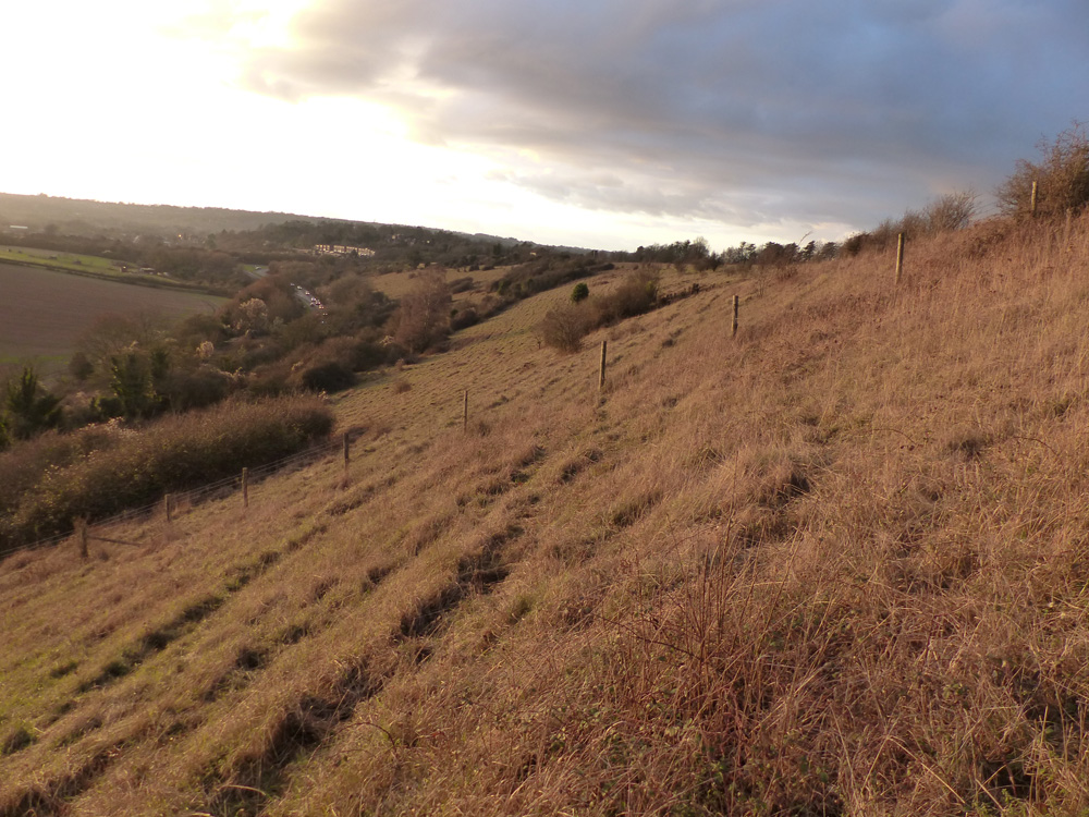
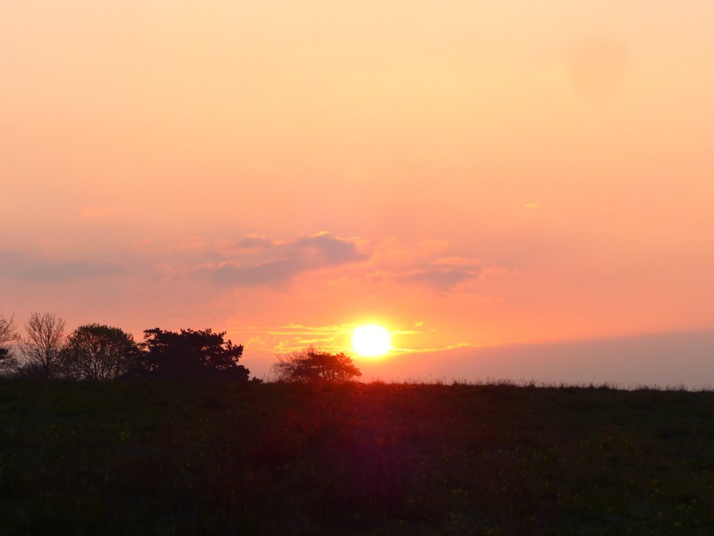
View to St Giles Hill from Magdalen Hill Original Field New Years Day 2017.
Access Map reference: SU 506 293 OS Map: Land Ranger 185 The reserve has several access points. The original reserve can be accessed from the north via a footpath opposite St Swithin’s School, on The Alresford Road (B3404). Although there is no car parking facility, it is possible for one or two cars to park on the verge. Parking is available on the north side of the Alresford Road near the gates to Magdalen Hill Cemetery. A track, heading south, leads up past the cemetery. At the top of this track the entrance of the reserve is marked by an information board with butterfly and other wildlife sightings. From there access can be gained to the Original, North and Extension Fields. The bottom of the steep slope can be accessed from the south on the A31 (Petersfield Road) opposite the lane to Chilcomb turn. Parking is in There are lay-bys, but beware of the fast traffic. Parking is also available at Morn Hill (the most recently added parts of the reserve. Parking is either at the Holiday Inn Hotel or Intec. The reserve fields lie behind the Holiday Inn, and the Extension can be accessed via a path behind Intec.